The Narmada is the largest river in Madhya Pradesh. From Amarkantak the potent fertile gush of water flowing through the gorges gushing through the rocks carving flowing playfully amidst the jagged rocks dropping herself down with infinite thud and splash Narbuda as Britishers used to call her reaches Mandla via various small villages gifting enormous fertility factor reaching the gigantic hydroelectric generating power plant in Bargi the reservoir is huge enough to hold her at its full, the height of the dam is 69 m and length 5.4 km and the barrage has 21 gates to stop her insurmountable power which in return is utilized to generate the motion in huge turbines to generating almost 90 MW, a lake of about 75 km in length and 4.5 km width, spreading over 267.97 km², literally feeling the enormousness of this river converting herself into a sea of sweet water.
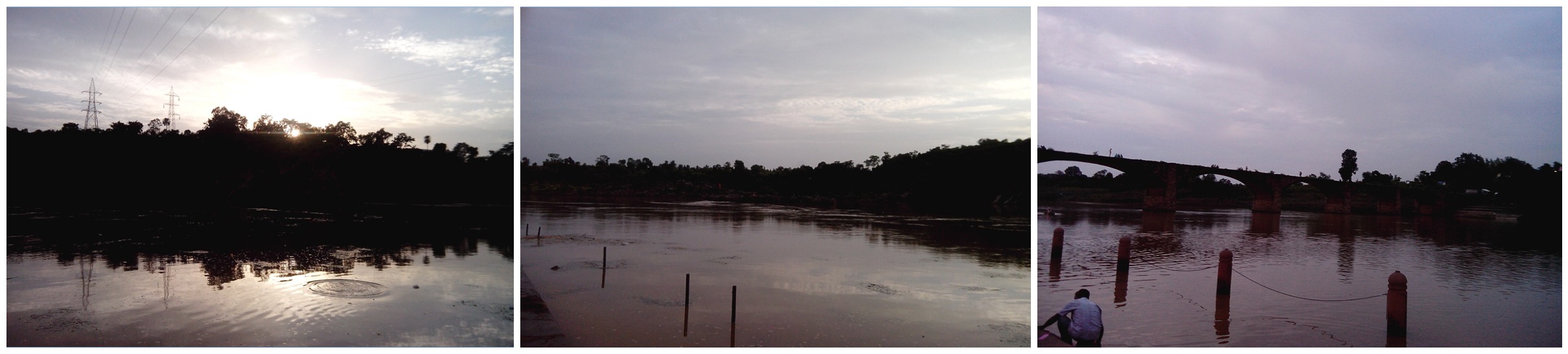
Viewing old bridge at Tilwara Ghat (pic 3).
Here the Rewa appears to be very smart and techy that motherly part does exist may be in a hidden form, but it serves the ultimate of generating employment among the localities as there’s a huge power project management staff from here it somersaults curving her huge buxom body into broad and narrow gorges paving her path through villages aiding it for agriculture calming down momentarily resting at Paili it is touchingly beautiful all surrounded by Satpura ranges imparting a mindboggling view state government has built a guesthouse huge forest line up surrounds the pathway of Saughan trees, biking, bird watching, trekking all felicitated for the oncoming tourist but it’s very rarely visited as it’s not very known place to visit this at least helping mother nature and our beloved Rewa to take few breath in peace.
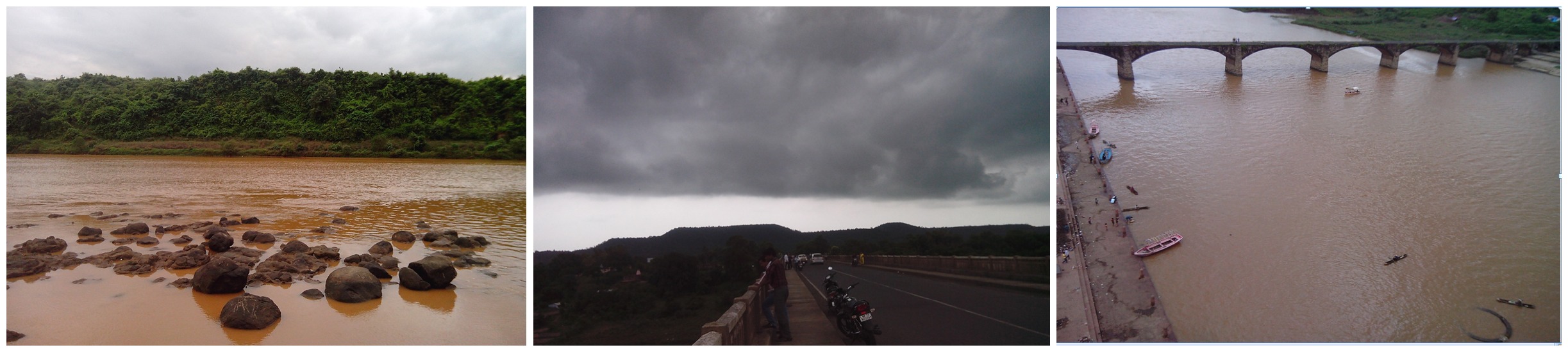
Taken from the new Tilwara bridge with a back drop of Satpura range roofed up by black clouds (pic 2).
As seen from top of Tilwara down below the Ghat (pic 3).
to be continued…